Have you ever wondered where the fish in the Rio Grande go when the river dries? As the snowpack and monsoon rains become more unpredictable, those of us working along the river often rely on agricultural outfalls, or wasteways, coming off of irrigated farm fields to keep the river wet. There are dozens of these outfalls along the Middle Rio Grande from Cochiti Dam to Bosque del Apache, and they serve an important function – they efficiently put water back into the river in order to help keep the ecosystem alive. Keeping the river wet is critical during years when snowpack at the headwaters of the river is below average and when the summer monsoon rains are inadequate. As the river starts to dry up, the fish community becomes threatened and fish may become stranded in small pools. The US Fish and Wildlife Service employs special rescue teams who survey the river and collect stranded fish to be relocated further upstream.
The Middle Rio Grande Farm and River Resilience Project is a collaboration between many partners including Audubon New Mexico and the Middle Rio Grande Conservation District (MRGCD). The purpose of this collaboration is to examine habitat conditions at the outfalls to determine if they provide (or have the potential to provide) suitable habitat for the Rio Grande Silvery Minnow and the Southwestern Willow Flycatcher. Both species are dependent on the river corridor for all or part of their life cycle and have been on the endangered species list since the mid-90s. The outfalls, which have the potential to provide supplemental water to the river in dry years, help keep the river connected while providing ideal conditions for riparian plant species such as Rio Grande cottonwoods and coyote willows. Because the outfalls are located throughout the Middle Rio Grande, water can be delivered to specific drying areas and this allows for efficient water use during dry times.
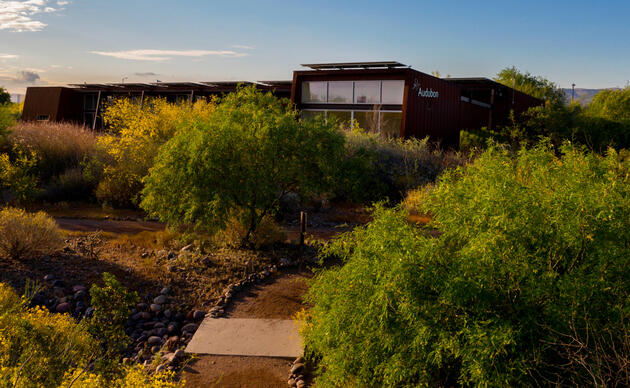
Audubon’s growing Freshwater Conservation team is based out of Albuquerque New Mexico. Team members have been on the ground collecting data at six outfalls in the Isleta Reach, which is the stretch of river between Isleta Pueblo and the San Acacia diversion dam. These six outfalls were chosen based on their location and the fact that they potentially provide high-quality riparian habitat to numerous wildlife species. The team is gathering data on tree and shrub composition, herbaceous wetland plant distribution, soil structure, and overall habitat condition of each outfall. The information collected will be used to facilitate a dialogue about potential habitat enhancement to be conducted at each of these outfalls. The overall goal is to create suitable habitat for endangered species, as well as the entire ecosystem, at these outfalls during dry years by collaborating together to keep the river wet.


